
Férez Trail Network
Férez Trail Network: 4 Themed Routes, Mid-Mountain Landscapes, and Essential Natural Landmarks
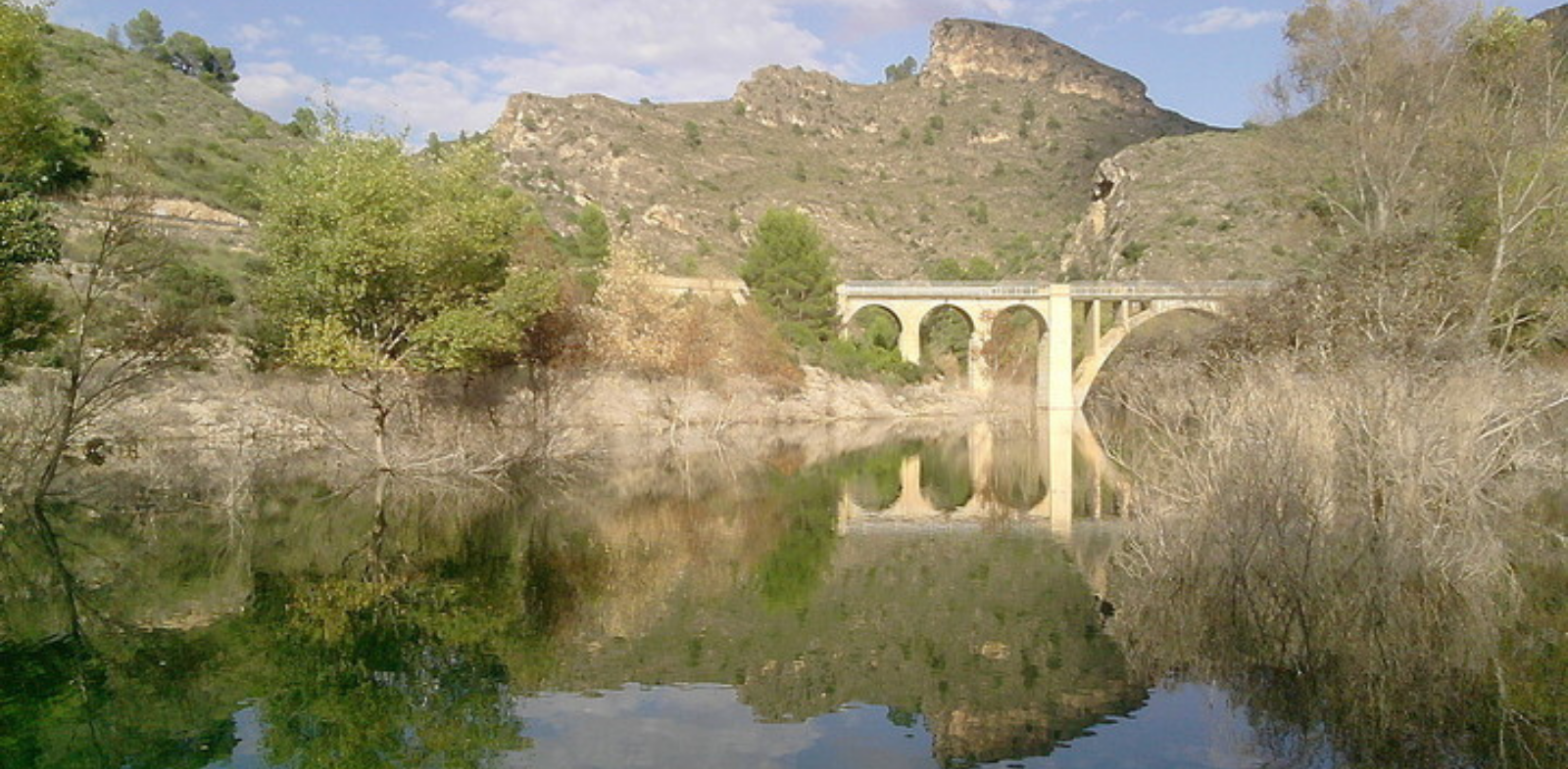
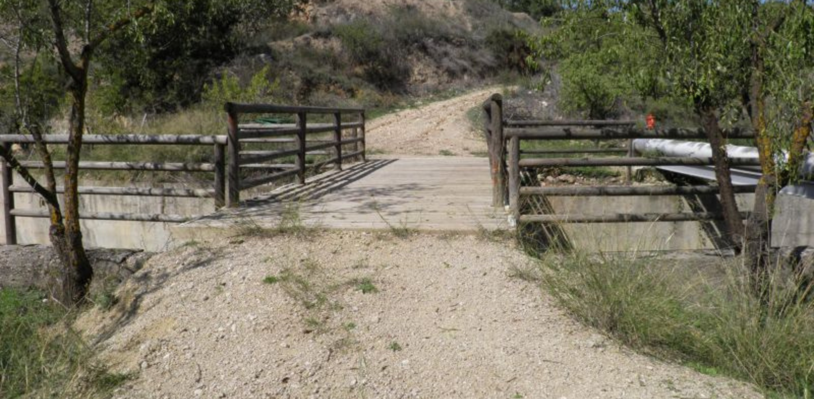
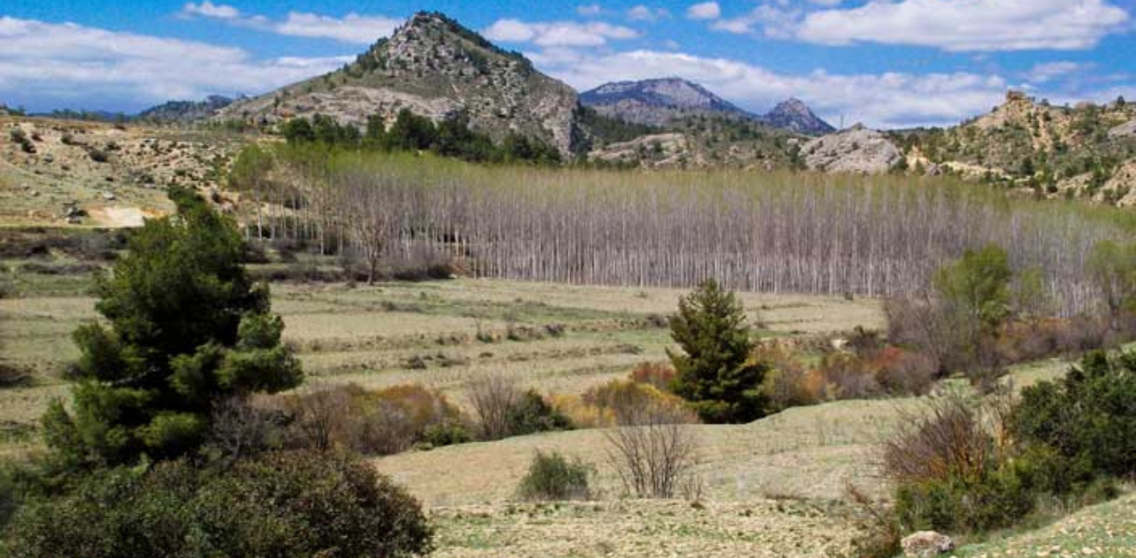
Férez features a magnificent network consisting of 4 hiking trails thoughtfully designed to lead visitors through the charming and diverse natural surroundings of the municipality.
🥾 Landmarks and Highlights
- Key Locations: Among the most representative spots explored along these trails are the historic Plaza Mayor, Barranco del Muerto (Dead Man's Ravine), Arroyo del Lentiscar, Rambla del Algarrobo, and the iconic La Mora Stream with its lush wetland and traditional setting.
- Nature and Heritage: An ideal network connecting the traditional village center with the rich mid-mountain landscape.
📋 Essential Notes and Digital Resources for Your Visit:
- Information and Official App: Comprehensive details can be found on the official portal rutasgps.sierradelsegura.com. Furthermore, you can carry all the trails right on your smartphone by downloading the "Rutas GPS Sierra del Segura" app; once downloaded, it operates via geolocation completely offline without needing an internet connection.
Rutas GPS Sierra del Segura for Android
Rutas GPS Sierra del Segura for IOS
Contacto
Dirección: Plaza la Iglesia, 2, 02436 Férez
Teléfono: +34967420122
Web: https://www.turismosierradelsegura.es/es/1-Blog/72-Red-de-Senderos-de-Ferez.htm
Horarios: Free access at any time of the day.
Temporalidad: All year round.
Localización
Compartir:


Formulario de contacto
Síguenos