Geological Route of El Cujón, Molinicos
Cujón Geological Route in Molinicos: Hiking and Geology in the Calares del Mundo Natural Park
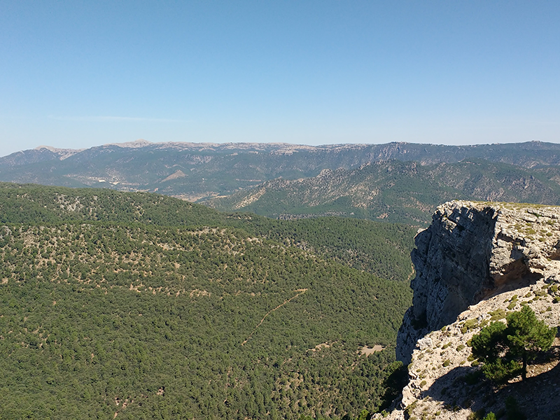
Located within the Calares del Mundo y de la Sima Natural Park, this marked trail begins in the hamlet of El Pardal within the municipality of Molinicos. The itinerary features 6 stops with interpretive panels, combining stunning scenery with an educational look at the geological processes that shaped the area's origins.
Route Characteristics and Geology
- Itinerary and Layout: A long-distance route (20 km round trip) following a 4-meter-wide public track, accessible on foot, by bicycle, or by motor vehicle.
- Elevation and Peak: The route has an elevation gain of 418 m, reaching its highest point at Cujón Peak (1,542 m).
Essential Notes and Practical Observations for Your Visit:
- Parking: Parking is available in the hamlet of El Pardal right at the trailhead.
- Recommendations: Due to its high altitude, visitors are advised to bring water and warm clothing, even during the summer season.
Contacto
Dirección: Camino forestal del Pardal, km.11
Teléfono: 687 071 264
Email: turismomolinicos@gmail.com
Horarios: It can be visited all year round, at any time of the day.
Temporalidad: All year round.
Localización
Compartir:


Formulario de contacto
Síguenos