
Letur Trail Network

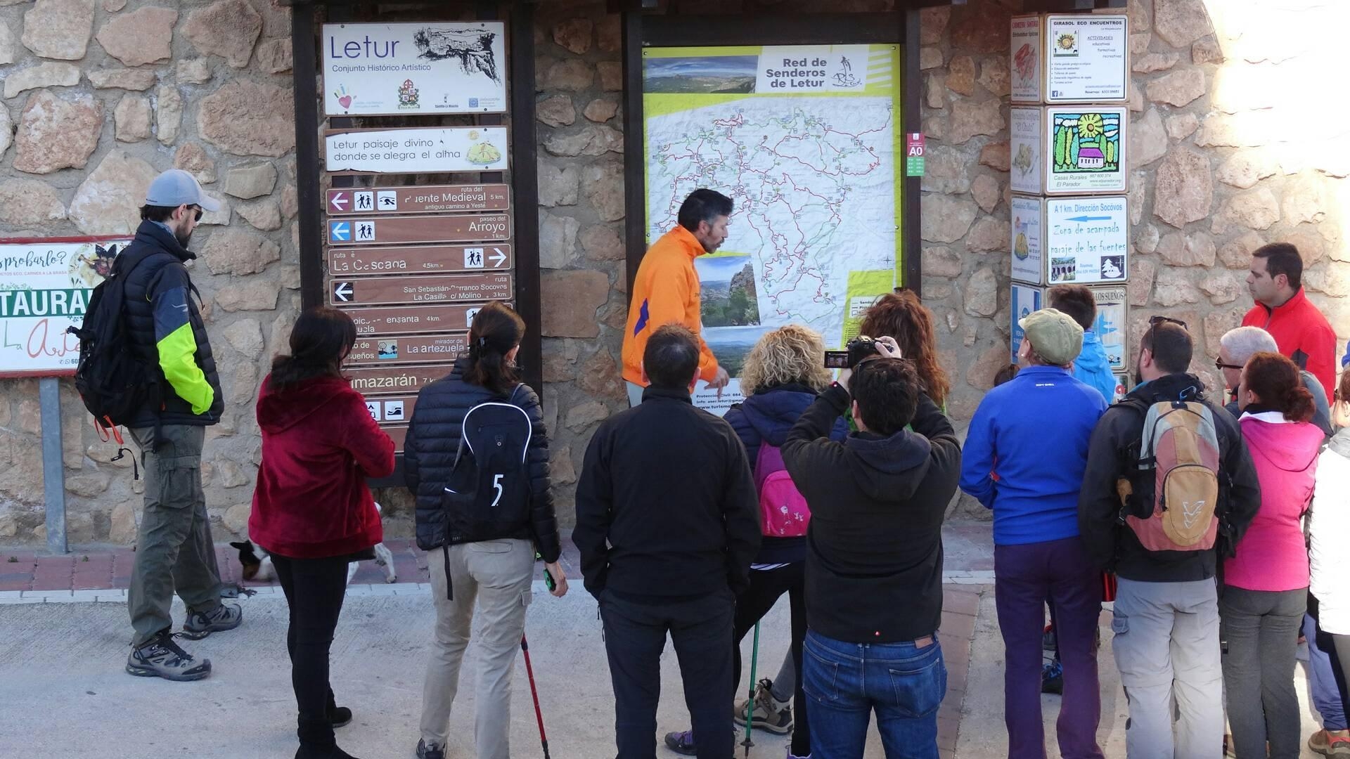
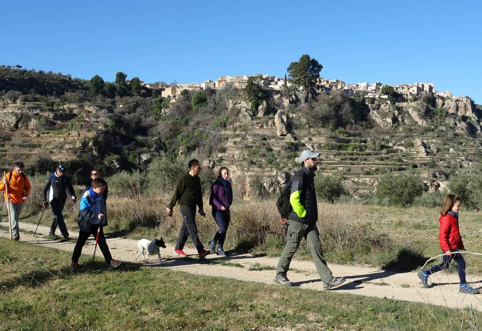
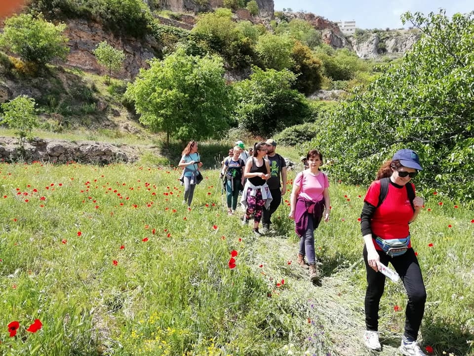
Letur Trail Network: 184 km of Historic Pathways, Modular Route System, and Trailhead Panel (A0)
The Letur Trail Network is thoughtfully designed so hikers can either customize their own route or follow one of 5 predefined trails. Spanning approximately half of the municipality with a total length of 184 km, these paths historically served as the primary communication routes connecting local settlements and surrounding areas.
Modular System Mechanics and Trailhead (A0)
- Starting Point: To begin routes from the old town, walk up Cuesta de las Moreras and head to the information panel featuring point A0 and its QR code.
- Point-Based Itinerary Design (Letters and Numbers):
- Check the map (at A0) and choose your route, keeping in mind that trail difficulty is generally medium-high, and factor in your physical condition and available time (assuming an average hiking speed of 3 km/h).
- Note down your waypoint sequence (each formed by a letter indicating the trail and a number for the junction, such as A0-C1-D1-D2-I1-A4-A3-A2-A1-A0, summing up the total distance of roughly 7.03 km).
- Follow the wooden marker posts with directional arrows between junctions to stay on track. Once underway, the system allows you to extend or shorten your hike dynamically by choosing new points.
Essential Notes and Practical Observations for Your Visit:
- Access: All routes starting from Letur (A0) can be conveniently undertaken on foot.
Contacto
Dirección: Cuesta de las Moreras
Teléfono: 666 83 20 09
Email: Aser.letur@gmail.com
Web: http://turismoletur.es/rutas/red-de-senderos/
Horarios: Accessible at any time.
Temporalidad: All year round. BROCHURE DOWNLOAD: https://bit.ly/2NIMcJp
Localización


Formulario de contacto
Síguenos