
Riópar Trail Network
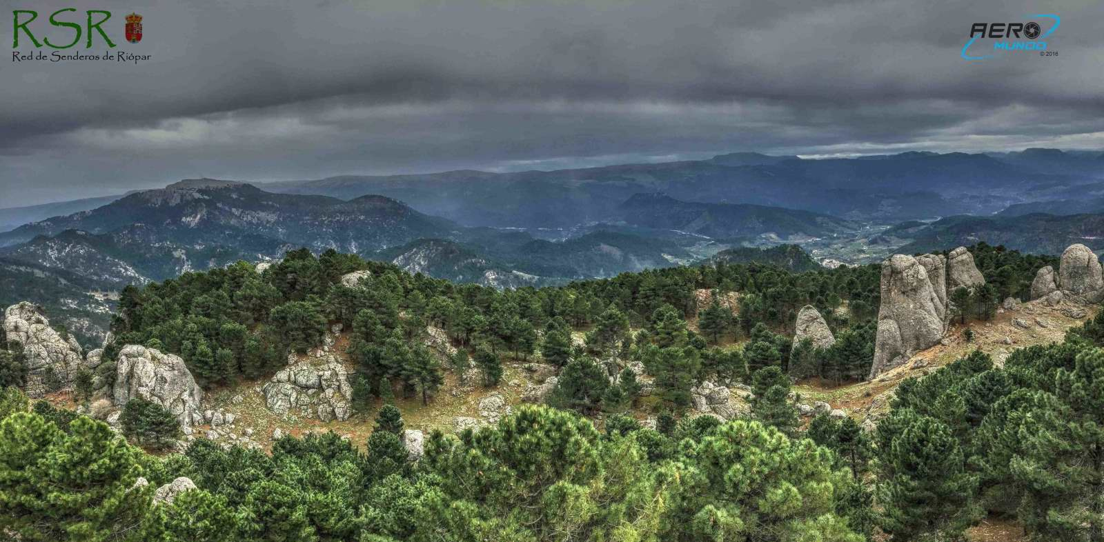
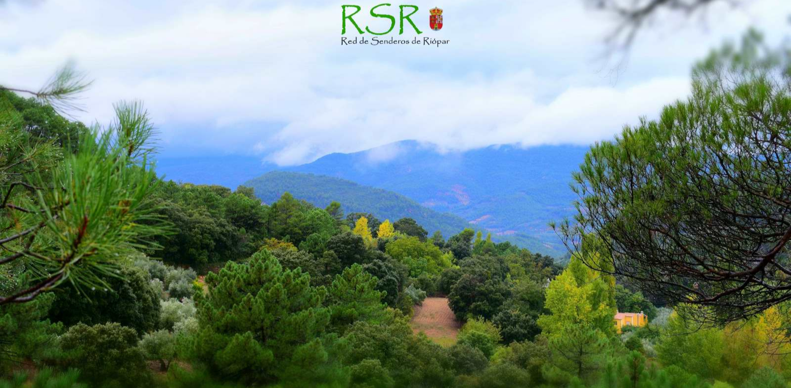
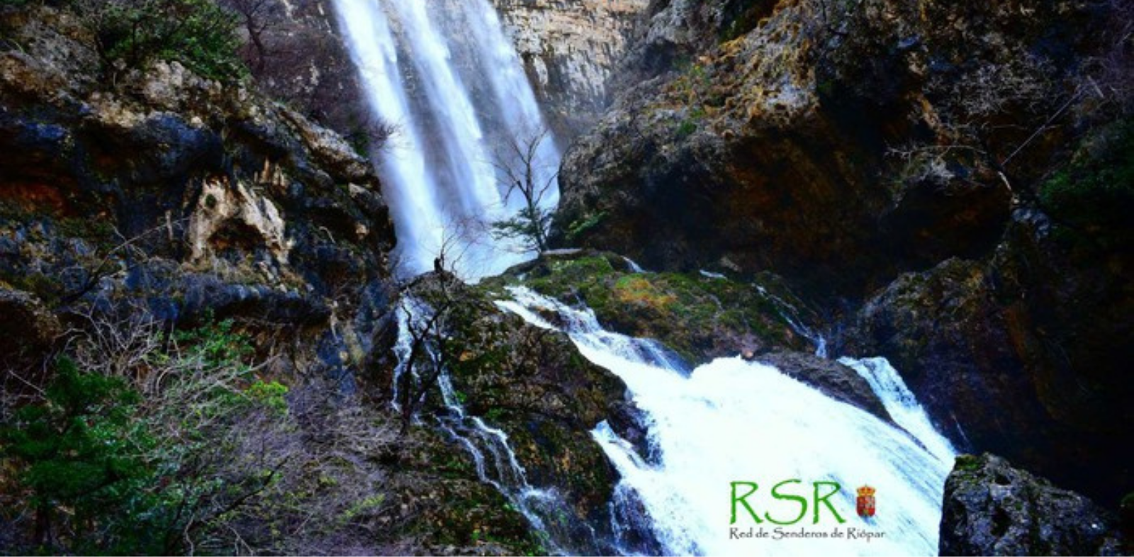
Riópar Trail Network: Over 20 Official Routes, Diverse Difficulty Levels, and Natural Landmarks
Riópar features an extensive network of over 20 official hiking trails starting from the town and winding through its stunning surroundings, offering varying levels of difficulty tailored to all types of visitors.
Points of Interest and Representative Landmarks
- Trail Highlights: Among the most prominent spots discovered along these routes are the Sierra del Cujón, the unique rock formations of Los Picarzos, Los Chorros, the majestic Calar del Mundo plateau, and El Malojar.
- Karst and Forest Scenery: An unparalleled journey to venture deep into the heart of the Calares del Mundo y de la Sima Natural Park via traditional pathways.
Essential Notes and Digital Resources for Your Visit:
- Information and Official App: Comprehensive details can be found on the official portal rutasgps.sierradelsegura.com. Furthermore, you can carry all the trails right on your smartphone by downloading the "Rutas GPS Sierra del Segura" app (available for both Android and iOS devices); once downloaded, you can complete all routes without needing an internet connection thanks to its built-in geolocation feature.
Rutas GPS Sierra del Segura for Android
Rutas GPS Sierra del Segura for IOS
Contacto
Dirección: Calle San Vicente, 2, 02450 Riópar
Teléfono: 967435230
Web: https://www.riopar.com/programs/red-de-senderos-de-riopar
Horarios: Free access at any time of the day.
Temporalidad: All year round.
Localización
Compartir:


Formulario de contacto
Síguenos